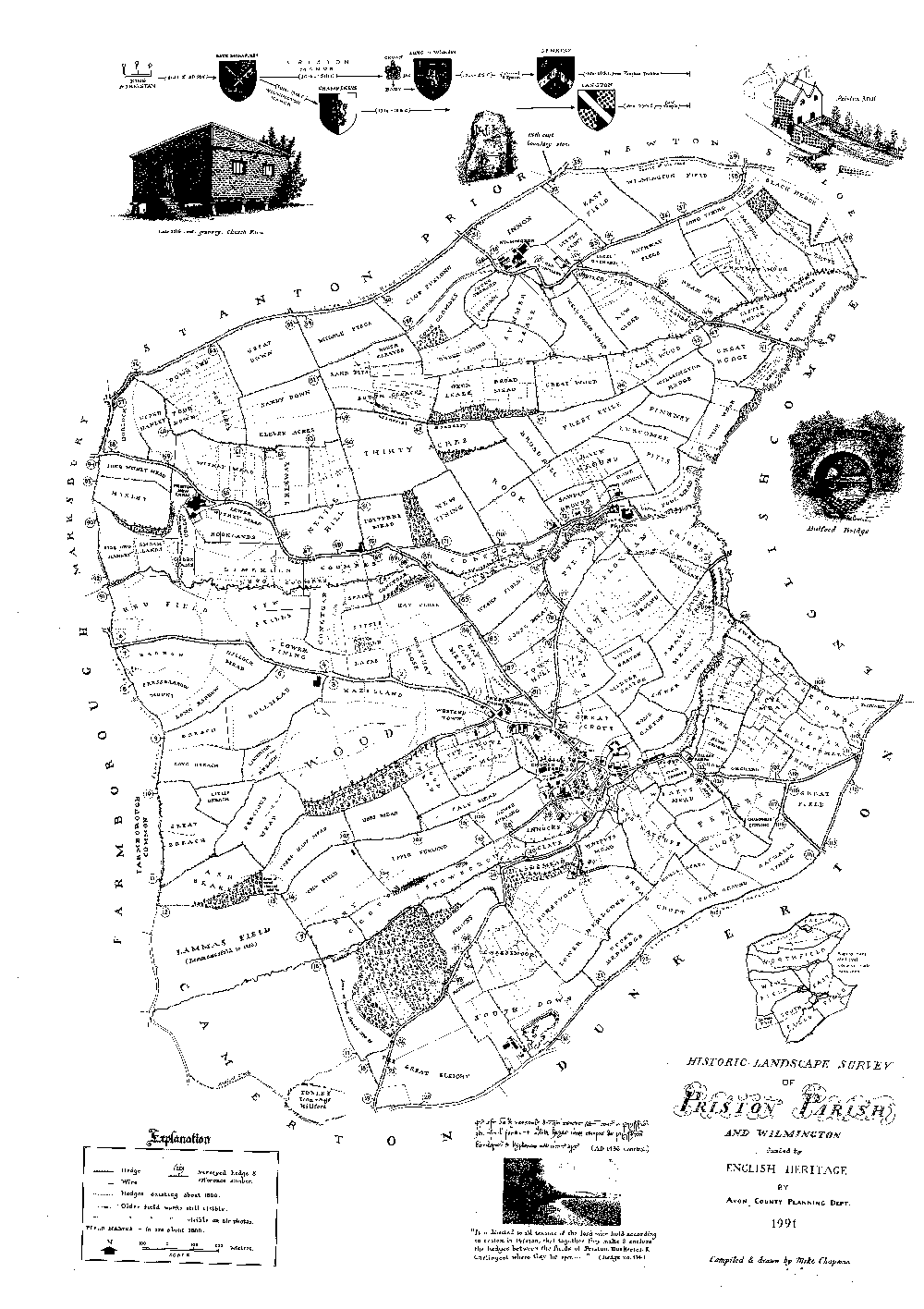
In 1991 a landscape survey was carried out in Priston by the old County of Avon. Apart from the very interesting booklet that they produced at this time, a map was commissioned based on the old Manorial maps of the Seventeenth and Eighteenth century. It depicts the old field boundaries and field names in use at that time, present day housing is also shown.
The owners of the Parish, including their arms, the Granary, Bullford bridge and the Mill etc. are illustrated.
A reprint of this fascinating map is available, which when framed, is a real conversation piece.
The map measures 594mm x 841mm, in black and white, price £4.